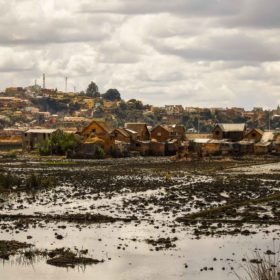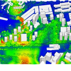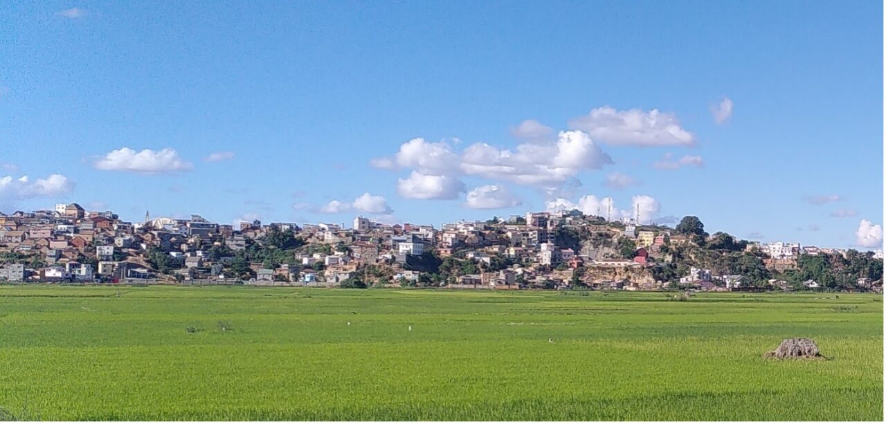
Antananarivo serves as a prominent example of how urban agriculture can effectively provide essential services for creating sustainable and resilient cities, specifically addressing food security and flood control challenges. The FCL Global research project has made significant contributions through landscape designs that prioritise and advance these crucial services, benefiting from the diverse expertise of its multidisciplinary team.
No city can be self-sufficient on food. Because food from their foodshed and imports are a necessity anyway, cities usually consider their peri-urban agricultural land as a land reserve for urbanisation. However, periurban agriculture provides way more than just food. It provides recreational areas, can regulate floods, biodiversity, and still hold social and cultural values. For cities in developing nations, where agriculture is still important, it is not too late to conserve and promote the benefits provided by their large peri-urban agriculture areas. In this article we look at the case of Antananarivo where our research team investigate the multifunctional role of these agro-urban landscapes for its population.
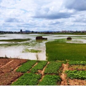
The typical landscape of Antananarivo is urbanised hills surrounded by rice fields. Recent urbanisation is starting to seal part of this floodplain. This very large floodplain still produces a significant part of the food consumed by the city (14% of rice according to Aubry et al. 2012). Many small farms do not only produce rice, but they also tend to follow the rice-duck-fish-brick system. Farmers cultivate rice during the rainy season, harvest fish and raise ducks when the water slowly drains out and dig clay to make bricks during the dry season. Even more, a wide survey conducted by PhD student Constance Brouillet shows that farmers perceived that rice fields limit floods by storing and absorbing water. These perceptions are in line with a hydrological modelling study made by Raimo Ruprecht, that explored how floods would be in the city without these rice fields.
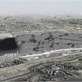
Unfortunately, policy-makers in Antananarivo mostly perceive these areas as reserves for urban development and agro-urban multifunctionality is poorly known. As a consequence, these floodplains are regularly backfilled for urban development despite a legal ban. Surprisingly, a study conducted by Carl Joseph showed that the conversion rate from floodplain to sealed surface is low (0.2% of the city surface per year), leaving time and space to act. Therefore, there is still time to work in favour of this multifunctional floodplain while the pressure remains at a reasonable rate. The FCL Global Tana project is conducting a transdisciplinary research in partnership with the Malagasy Ministry of Landscape Planning, to propose inspirational designs that integrate agro-urban multi-functionality.
Dr. Nicolas Salliou, Chair of Planning of Landscape and Urban Systems
Coordinator of the FCL Global Tana project

