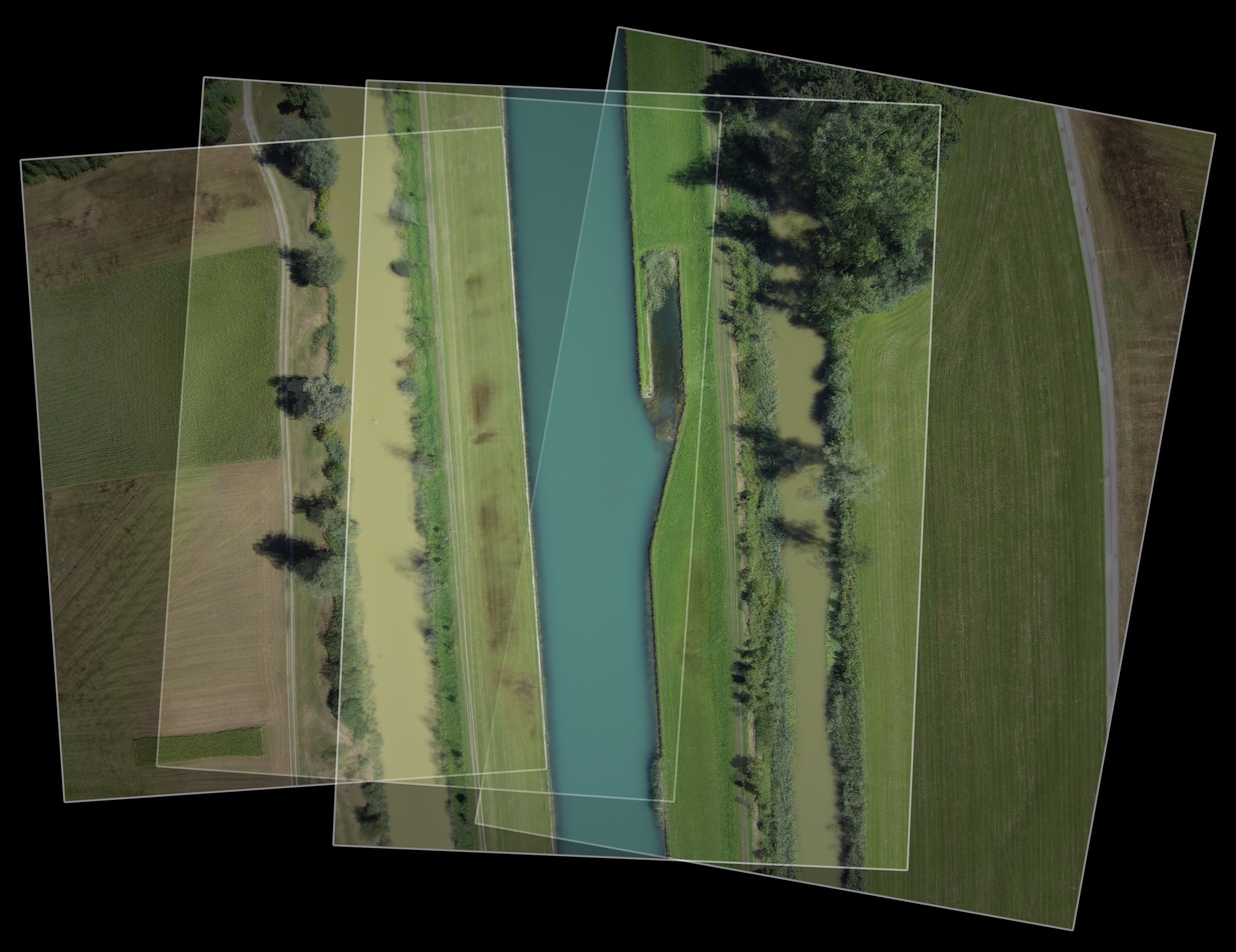
The aerial view allows a vantage point from which to capture photographs, video, and non-visual sensor data of diverse landscape locations. A flexible, fast and simple means of landscape surveying, it has made possible the repeated capture of sites under constant change, whether environmental, cultural, programatic, or land-use.
The mobile Landscape Visualisation and Modeling Lab (LVML) unit ensures all sites are accessible through lightweight UAV platforms (unpiloted aerial vehicle platforms), the entire process is now refined and automated into an efficient on and offsite workflow.
The Landscape Visualisation and Modeling Lab (LVML) has been developing methods for the aerial capture of landscapes and territories since its inauguration in 2010. Founded by Prof. Christophe Girot and Prof. Adrienne Grêt Regamey, this interdisciplinary laboratory works from the territorial planning scale to the micro-climatic site detail. The use of various UAV aerial platforms have formed a key part of this research, landscape analysis, and project use.
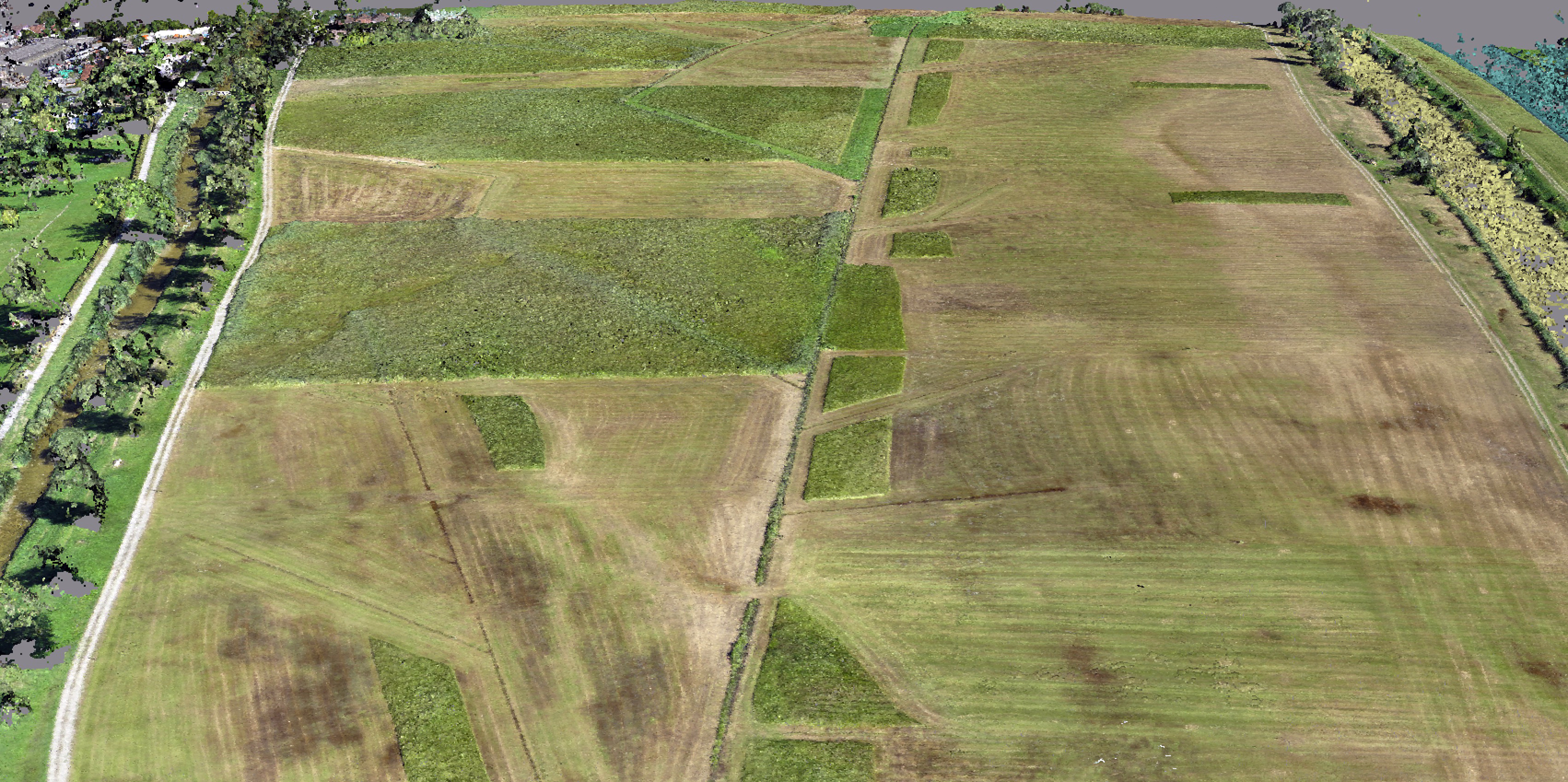
The process of aerial site capture has been refined in research projects within the MAS Landscape Architecture course, in which students focus for 12 months on one site and associated design issues. This has allowed previous students to scan their landscape site, and repeat the procedure over the course of the year, generating a nuanced dataset of land-use and ecology. The integration of photogrammetry techniques also generate a highly detailed terrain and object model of each flight, allowing physical change, however temporary, to be mapped in detail.
The Potential of On-Site Data Collection and the Aerial Perspective
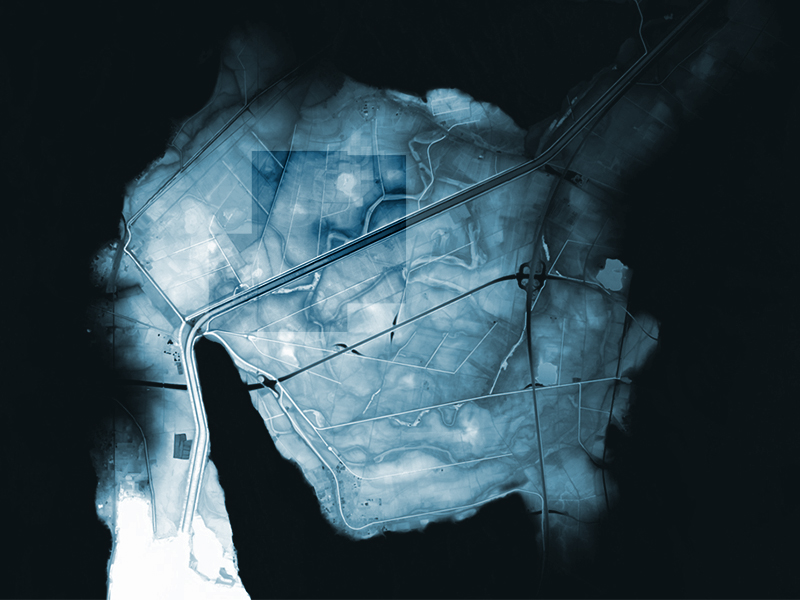
The resulting data included repeated seasonal territorial scanning, generating various levels of site information. The scans of the Linth Plain, south of the lake of Zurich, resulted in clear seasonal shifts in colour, vegetation, and agricultural use. The types, density, diversity and heights of the various crops and forested areas could be measured and quantified, revealing the local agricultural cycles. The materiality of the landscape, including changes in areas of asphalt, concrete, bare earth and areas of erosion can be measured.
The influence of weather events such as snow and torrential rains can be measured in area and depths, through comparison with previous site models. Specific cultural events, land use change, and temporary built structures can be detected, through automated model comparison.
Through developing and implementing these techniques within the landscape design process, the reliance on officially and commonly available site data has been alleviated, allowing a deeper understanding of the dynamics of landscape sites. Whether in data-rich Switzerland, or in the home countries of many of our international students, the massive potential of on-site data collection and the aerial perspective is clear.
James Melsom is scientific collaborator and coordinator of the LVML at the chair of Christophe Girot for landscape architecture.
Top Image: Swisstopo Data of the Linth Plain, supplemented and compared with detailed seasonal aerial data: surface model, vegetation, and materialisation (centre).

